 Investigate Alabama’s Weather
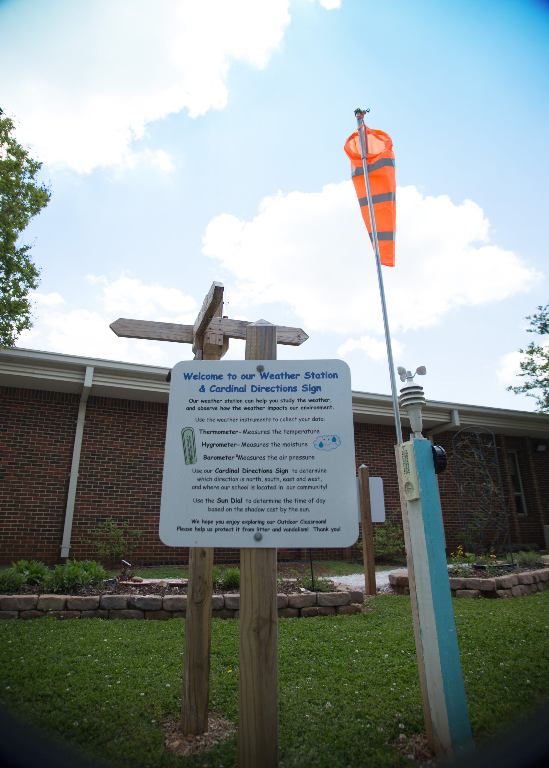
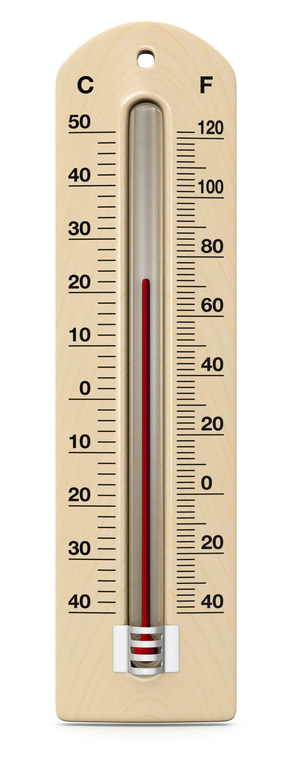
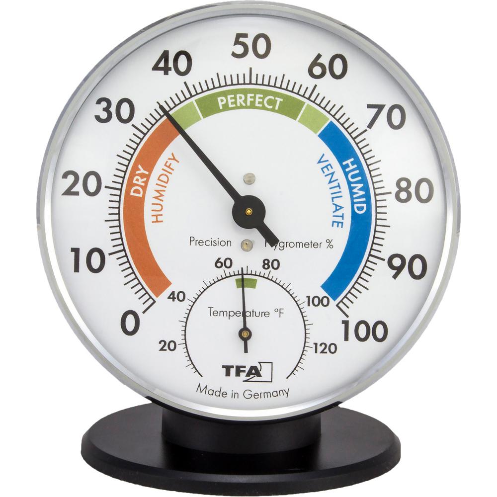
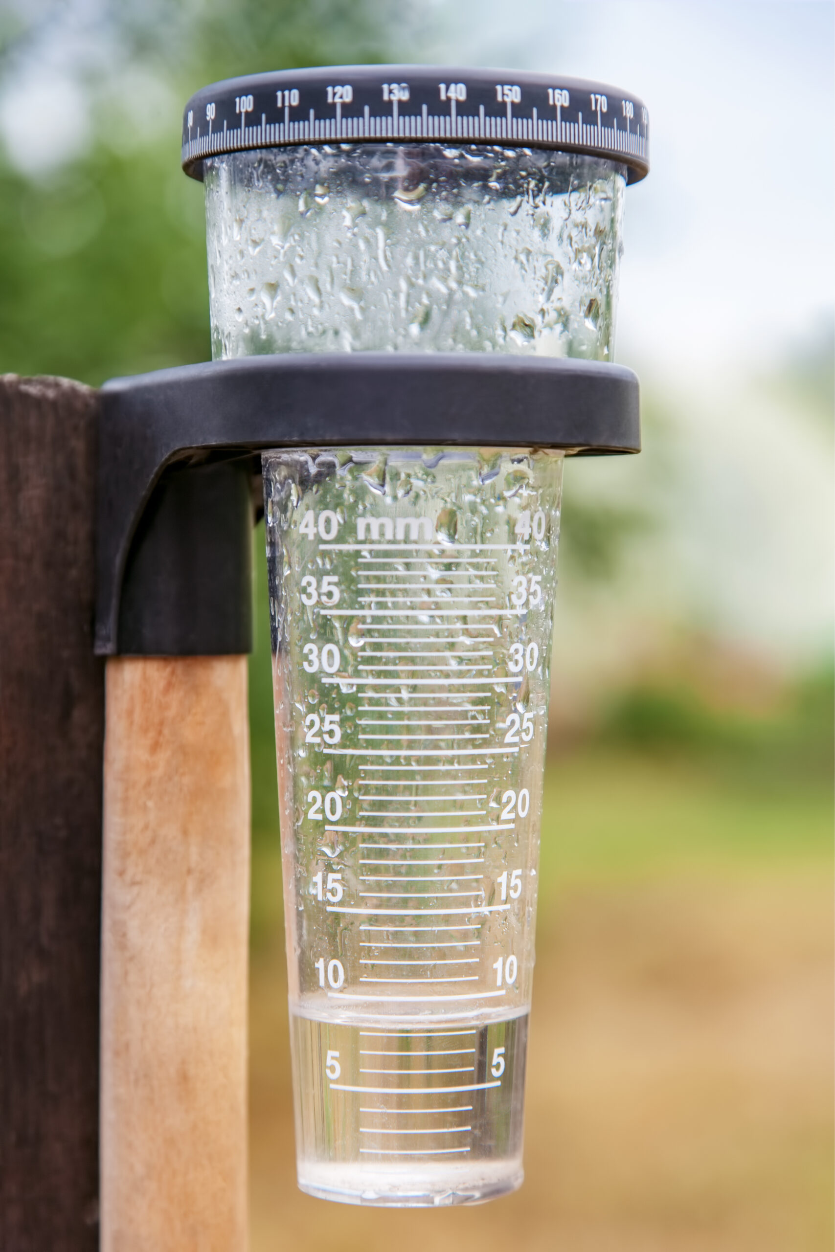
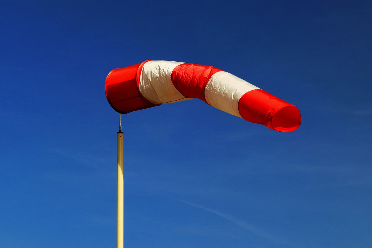
The weather station in your outdoor classroom includes various weather instruments that you can use to measure, record and track weather conditions over time.
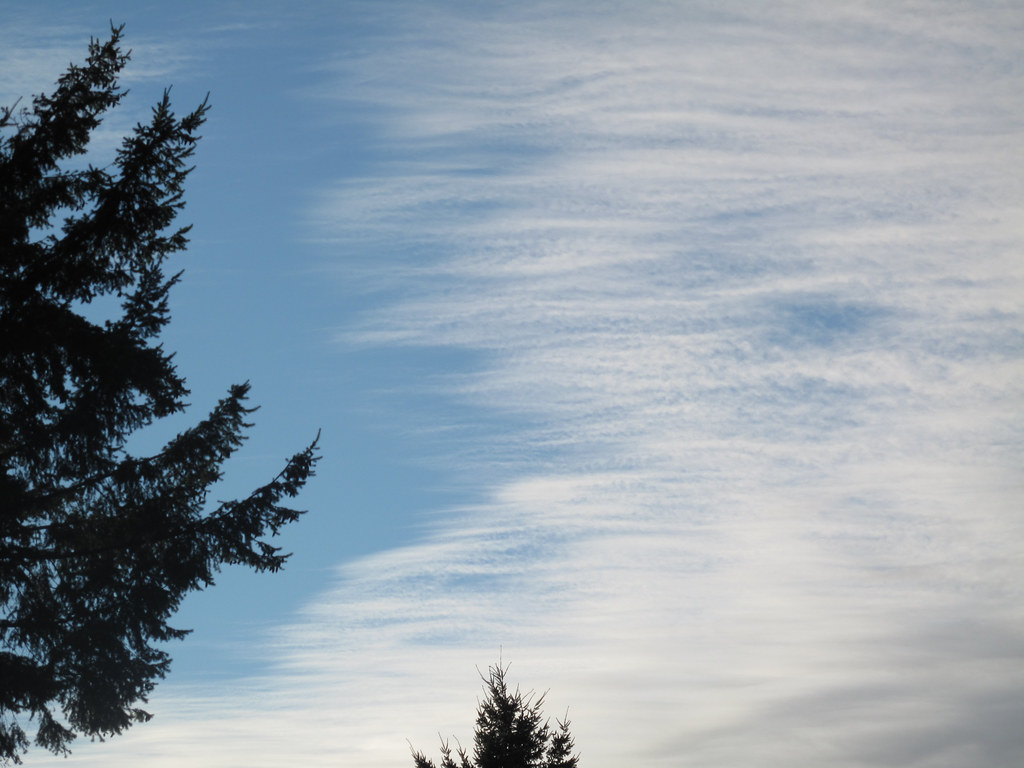
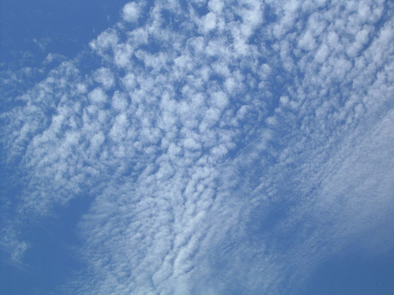
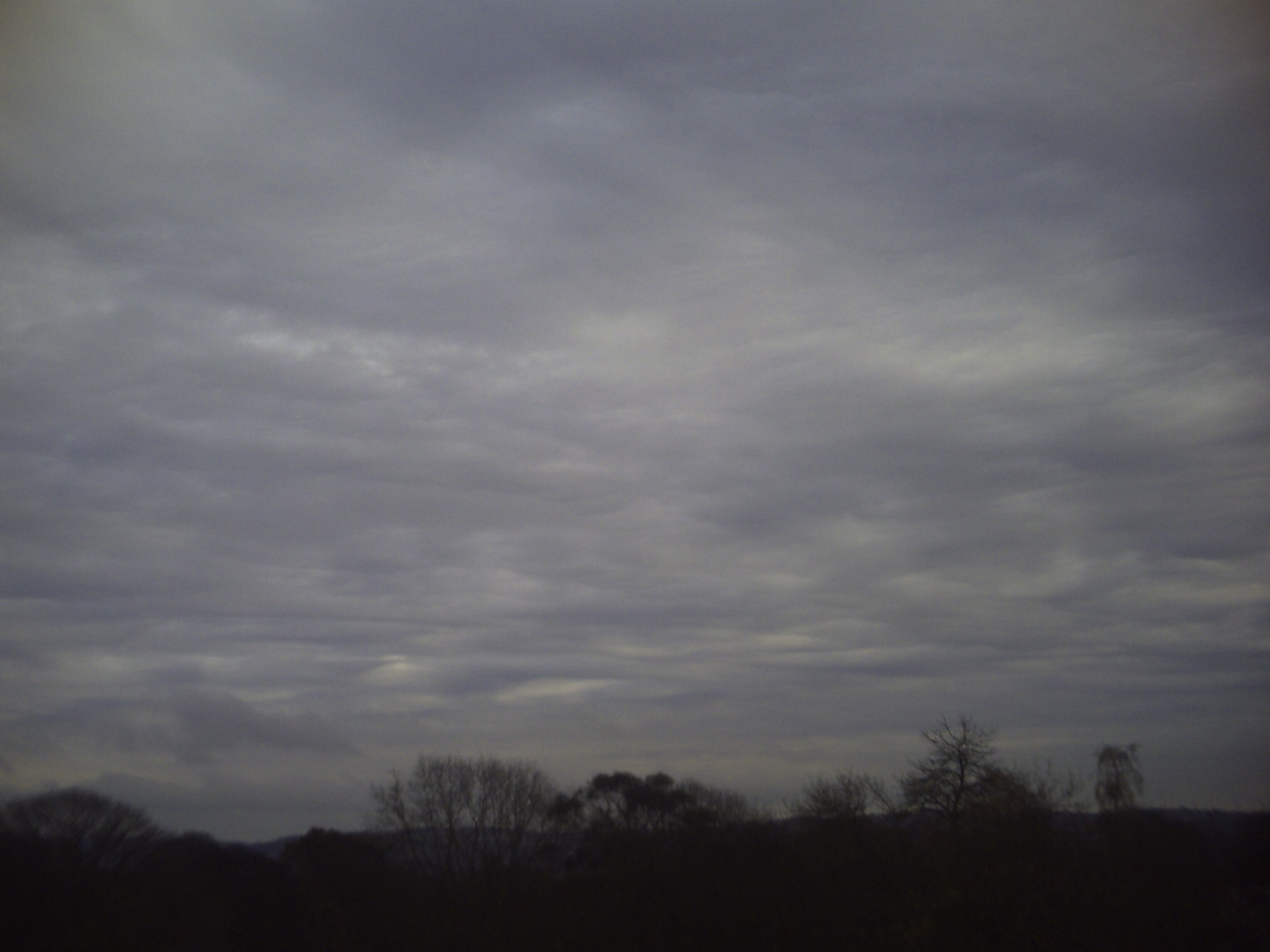
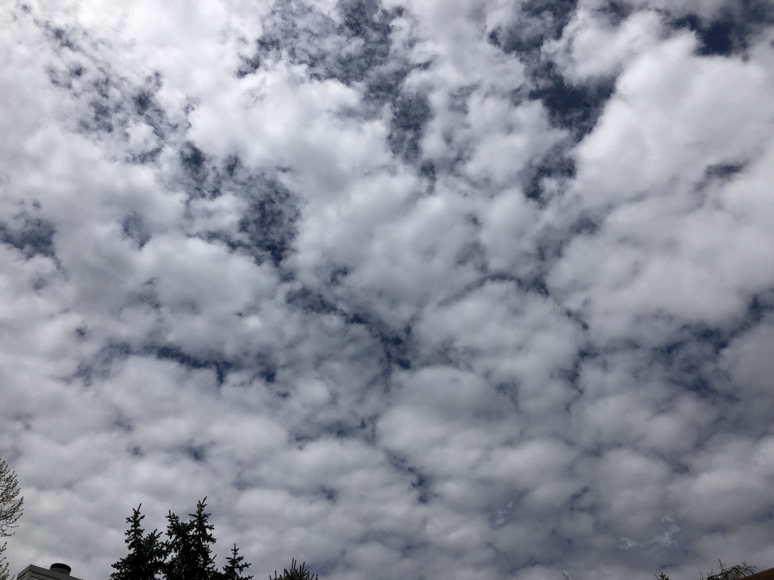
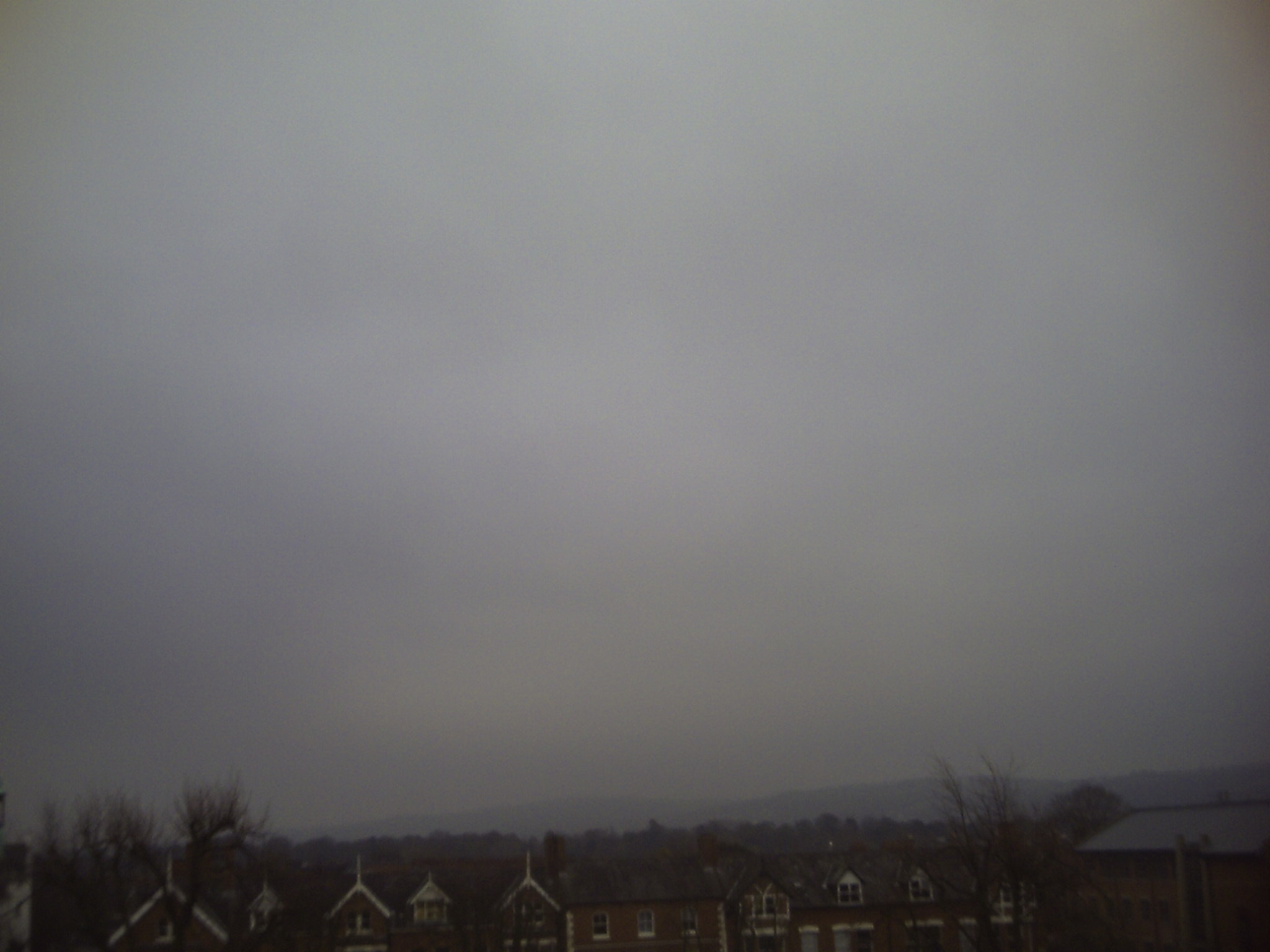
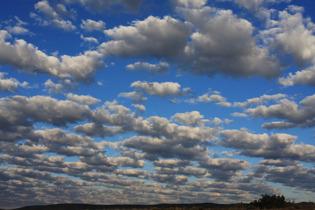
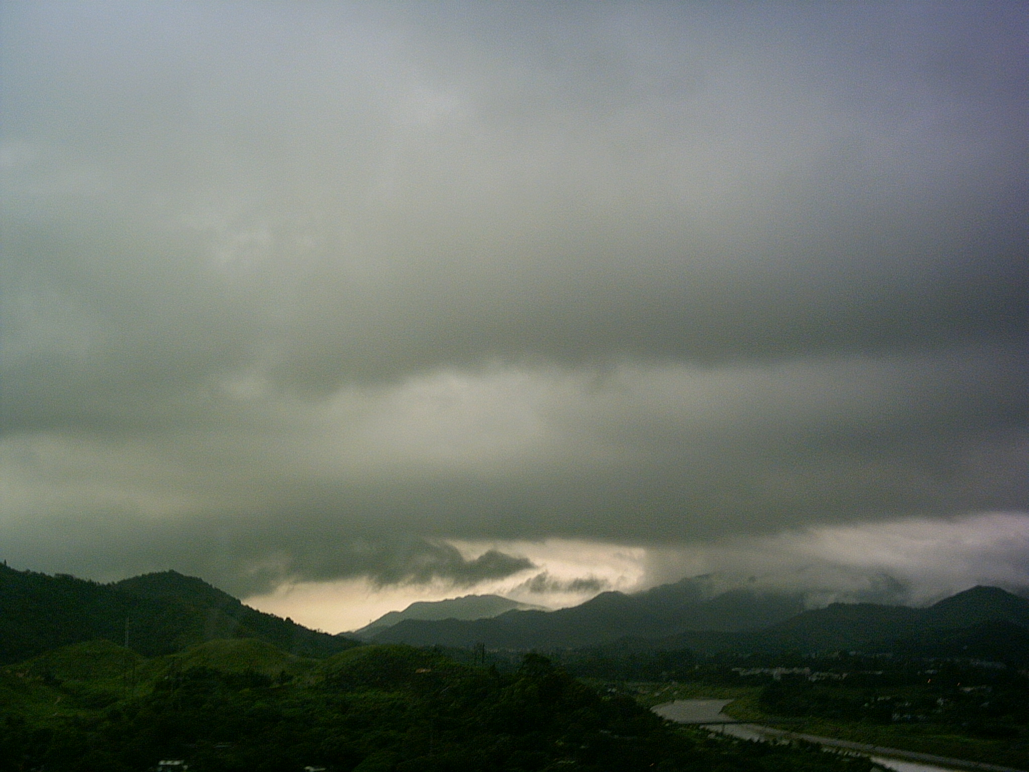
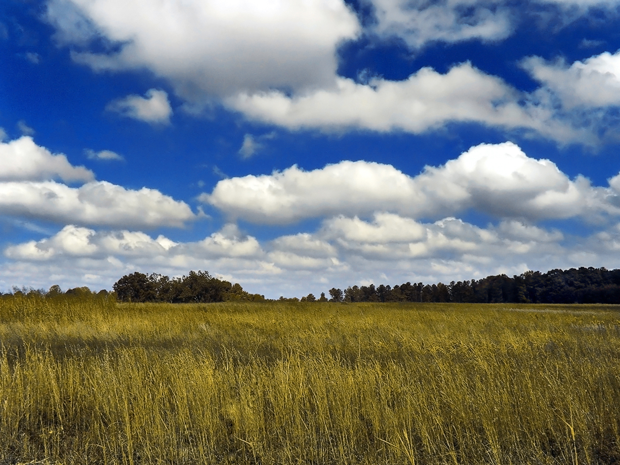
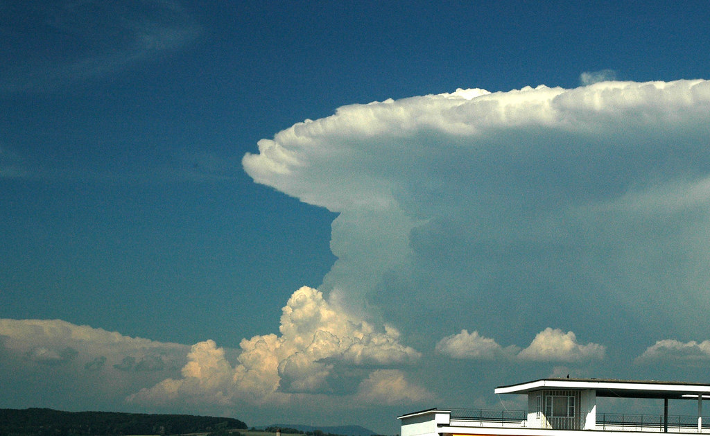
Observing the clouds overhead can help you understand and predict weather.
The weather station in your outdoor classroom includes various weather instruments that you can use to measure, record and track weather conditions over time.
Observing the clouds overhead can help you understand and predict weather.