| How Clouds Impact Weather |
|
| What are clouds? |
- Clouds are collections of very tiny droplets of water or ice crystals.
- When warm air rises, it expands and cools.
- Warm air is able to hold more water vapor than cool air.
- Once the air cannot hold any more water vapor, the vapor turns into a liquid form (rain) or solid form (ice).
|
|
| What makes clouds white or gray? |
|
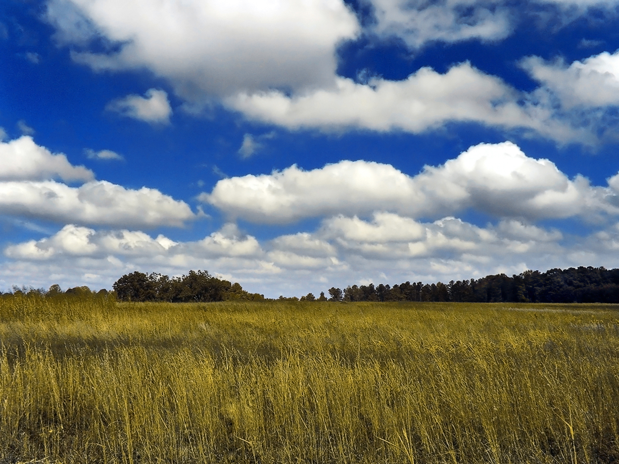
White clouds:
- As light from the sun moves through the clouds, it is scattered by water droplets or ice crystals in the cloud.
- Thin clouds let more light through and appear white
- This is because the water droplets or ice crystals are the right size to scatter the light into all seven wavelengths (red, orange, yellow, green, blue, indigo, and violet) – combining to produce white light.
|
|
|
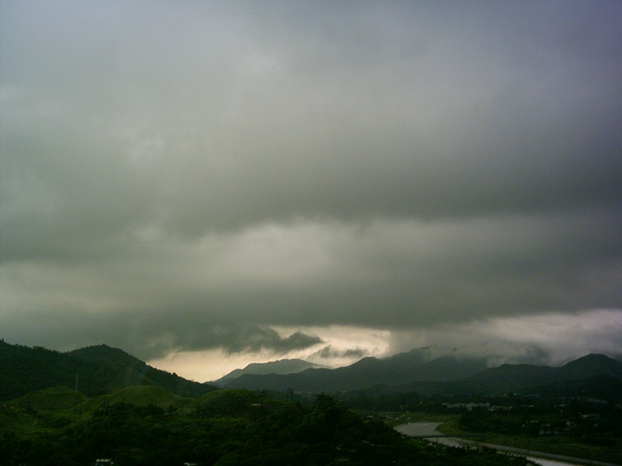
Gray clouds:
- When the number of water droplets or ice crystals gets too high or they get too large, less sunlight makes it through the cloud.
- This causes the cloud to appear darker.
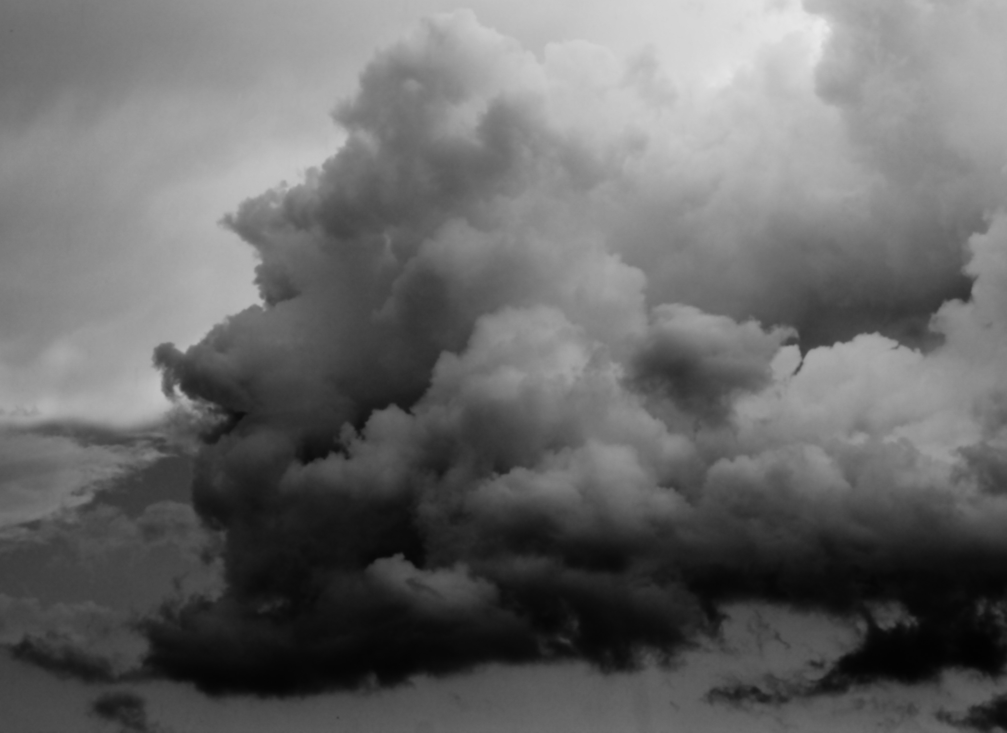
- Storm clouds can appear black because there is no light making it through!
- You are basically seeing a shadow of the collection of water droplets or ice cyrstals.
|
Dark Clouds
Shae Calkins
|
| Types of Clouds |
|
|
There are many different types of clouds.
They are grouped by their height in the sky as well as their appearance.
They can be good indicators of what weather is to come within the next day or so.
Below is an illustration as well as a chart with descriptions of the most common cloud types.
|
 |
(source: wikimedia – Valentin de Bruyn)
Click on image to enlarge it |
|
|
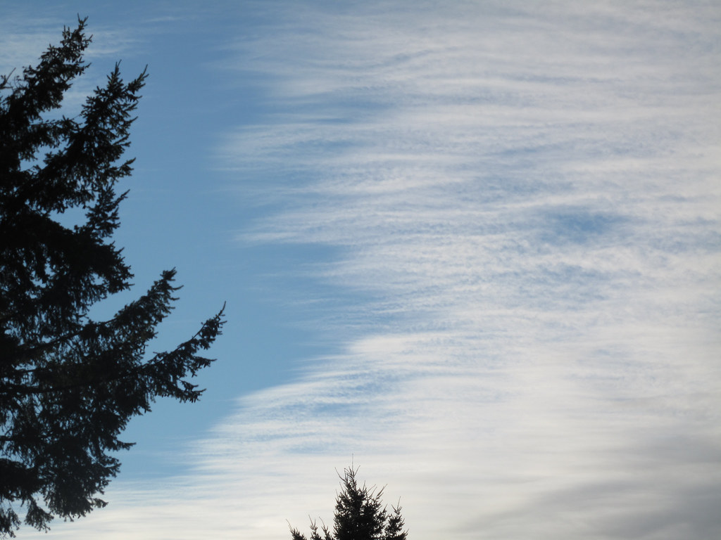
Cirrus:
- High height: above 18,000 feet
- Most common of the high clouds
- Thin, whispy, made of ice
- Looks like a cotton ball pulled apart and stretched out
- Predict: If there are only a few of these clouds in the sky, the weather will be fair for now. Increased coverage, however, indicates a change of weather will occur within the next 24 hours.
|
Cirrus Clouds
Wikimedia – Simon A. Eugster
Click on image to enlarge it
|
|
|
|
Cirrostratus:
- High height: above 18,000 feet
- Thin, sheet-like
- Often cover the entire sky
- Sun and moon can be seen through them
- Predict: Normally come between 12-24 hours before rain or snow.
|
Cirrostratus Clouds
Flickr – Gexydaf
Click on image to enlarge it
|
|
|
|
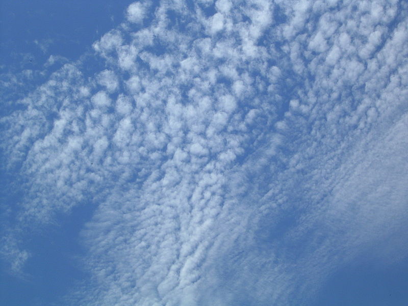
Cirrocumulus:
- High height: above 18,000 feet
- Small, rounded white puffs that appear in long rows
- Can resemble the scales of a fish
- Predict: Typically seen in winter and indicate fair weather. In tropical regions, they can indicate an approaching hurricane.
|
Cirrocumulus Clouds
Wikimedia – Simon Eugster
Click on image to enlarge it
|
|
|
|
Altostratus:
- Medium height: 6,500 – 18,000 feet
- Similar to stratus, but higher in the sky
- Gray or blue-gray
- Typically cover the whole sky
- In thinner areas of the cloud, the sun may be dimly visible as a simple round disc
- Predict: These clouds usually form ahead of storms with continuous, light rain or snow.
|
Altostratus Clouds
Wikimedia – The Great Cloudwatcher
Click on image to enlarge it
|
|
|
|
Altocumulus:
- Middle height: 6,500 – 18,000 feet
- Puffy gray masses (like cumulus but higher in the sky)
- Form in groups
- Predict: Typically these indicate that a storm has just passed and fair weather is here. If the weather has been mild, it’s likely that these clouds are buliding and will bring rain or snow.
|
Altocumulus Clouds
Wikimedia – farmartin
Click on image to enlarge it
|
|
|
|
Stratus:
- Low height: Up to 6,500 feet
- Uniformly gray; cover the entire sky
- Also called “overcast”
- If their bases reach the ground, they become fog.
- Bring light mist or drizzle
- Predict: Typically these clouds mean the atmostphere is stable and not much is going to happen. If they are thick and hanging around, expect light rain or snow. Also expect cooler temperatures to come.
|
Stratus Clouds
Wikimedia – The Great Cloudwatcher
Click on image to enlarge it
|
|
|
|
Stratocumulus:
- Low height: Up to 6,500 feet
- Puffy and gray
- Form in rows with blue skies visible between them
- Predict: They indicate that a change in weather is coming. Precipitation is rare, but they can turn into nimbostratus clouds.
|
Stratocumulus Clouds
Flickr – J.N. Stuart
Click on image to enlarge it
|
|
|
|
Nimbostratus:
- Low height: Up to 6,500 feet
- Dark gray cloudy layer
- Blanket-like
- Predict: These clouds bring continuously falling rain or snow. Can last several hours to days. When the clouds start to break, expect colder temperatures.
|
Nimbostratus Clouds
Wikimedia
Click on image to enlarge it
|
|
|
|
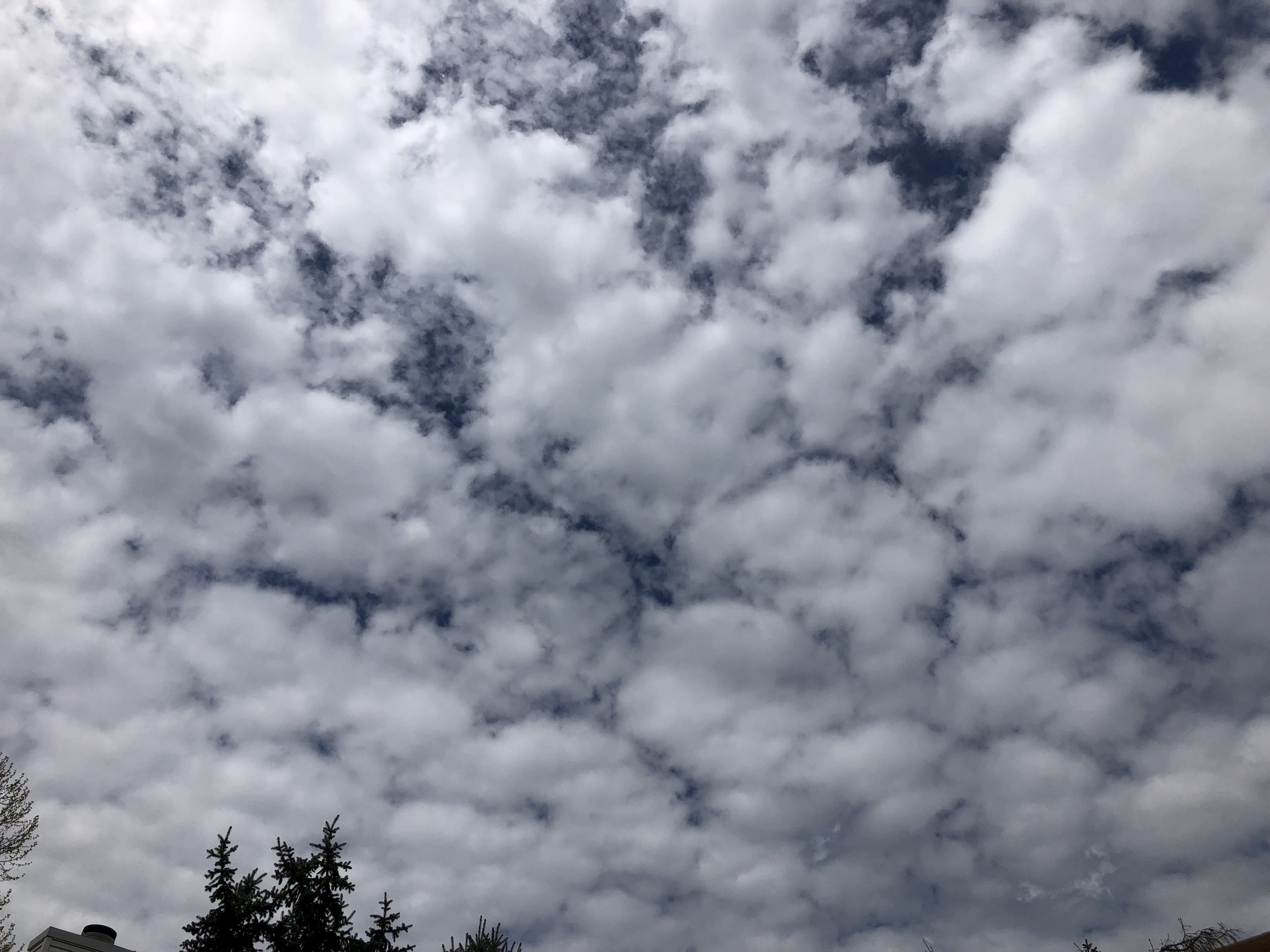
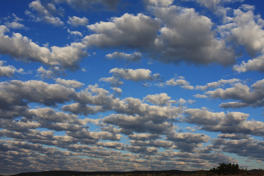
Cumulus:
- Also called “clumping clouds”
- Height: can span across low, middle, and high layers
- White and puffy
- Looks like floating cotton
- Base of each cloud is flat, and the top has rounded towers
- Predict: When they are small and wispy they are a sign of fair weather. When the tops look like heads of cauliflower, they can grow into cumulonimbus clouds which bring storms.
|
Cumulus Clouds
Wikimedia – PiccoloNamek
Click on image to enlarge it
|
|
|
|
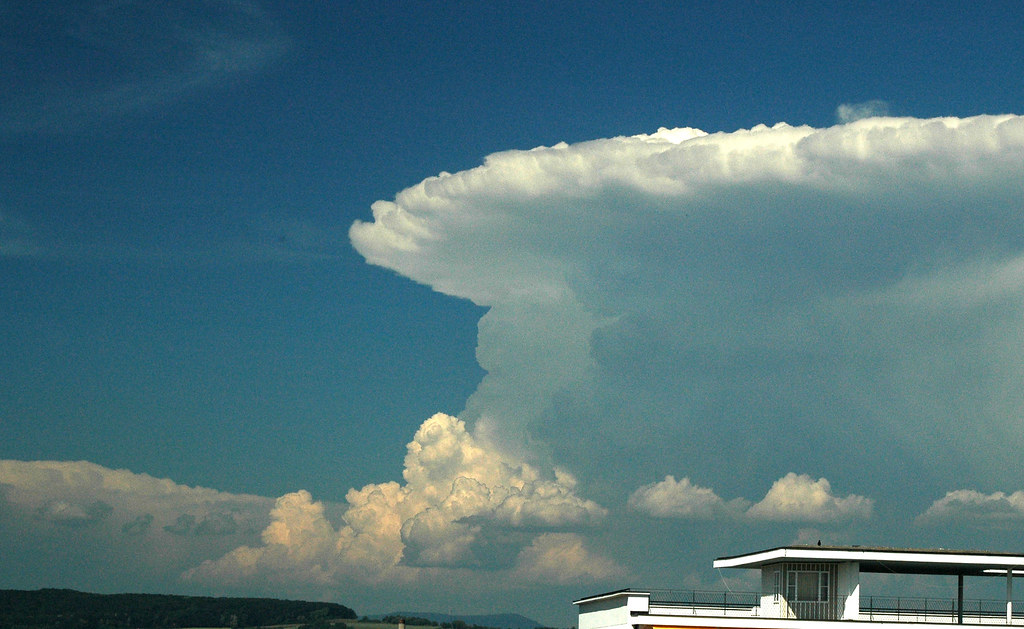
Cumulonimbus:
- Height: can span across low, middle, and high layers
- From far away they look like big mountains or towers
- Wind flattens the top of the cloud into an anvil shape
- Cumulonimbus clouds grow on hot days when warm, wet air rises very high into the sky. From far away, they look like huge mountains or towers.
- Predict: These clouds can produce short-lived severe storms, heavy rain, intense lightning, hail, and even tornadoes. They drop a large amount of precipitation but it doesn’t last long. The day may begin sunny, followed by a heavy rain and storm, and then an afternoon of sun once again.
|
Cumulonimbus Clouds
Flickr – Andreas Christen
Click on image to enlarge it
|
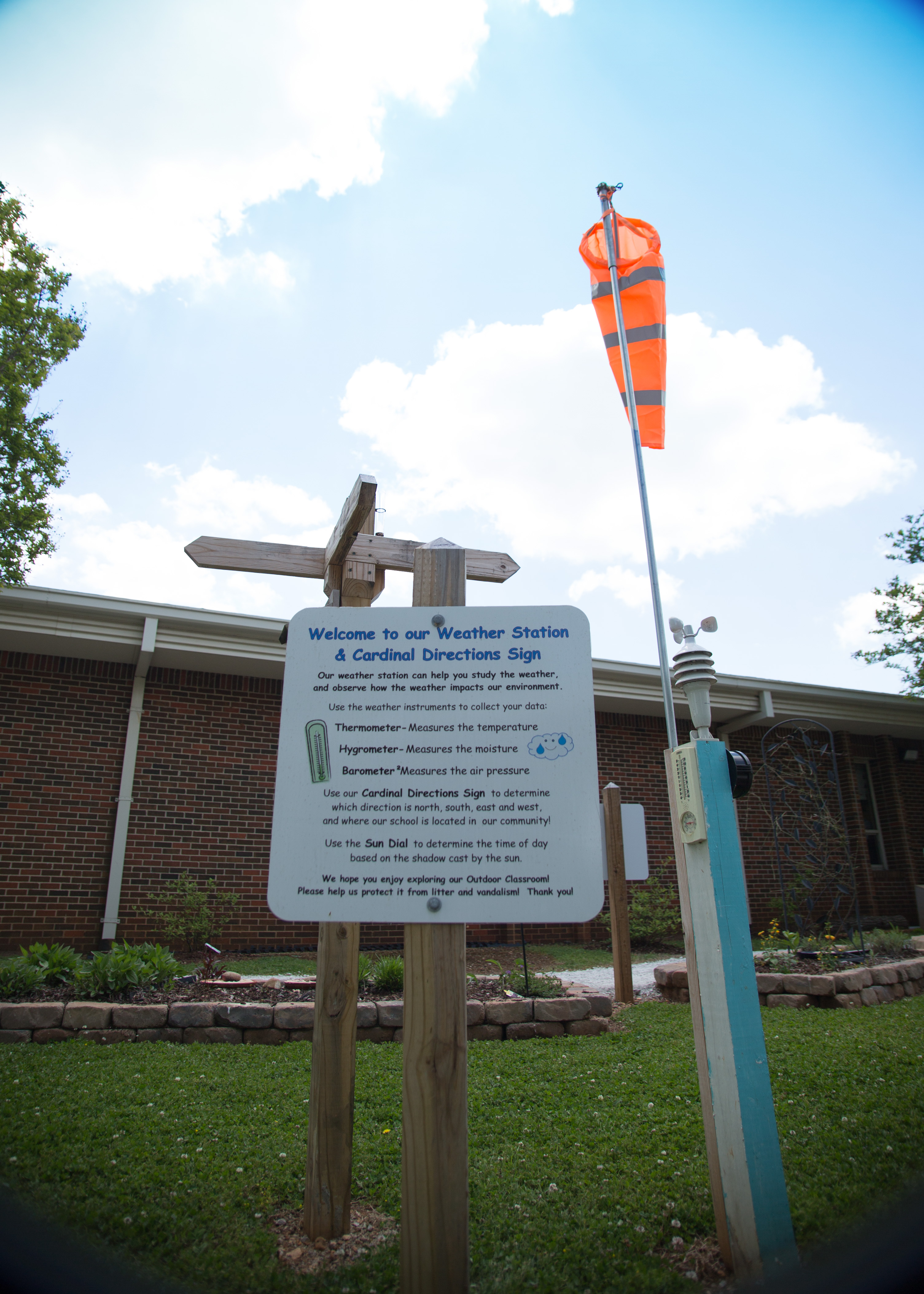
 Investigate Alabama’s Weather